Legacy of the Imperial Grid


The “longitude problem” was a major scientific and navigational challenge from the 16th to 18th centuries: how to determine a ship’s east-west position (longitude) at sea. Unlike latitude, which could be measured by the angle of the sun or stars, longitude required knowing the exact time difference between a ship’s location and a fixed reference point—Greenwich, England, would become that point. The problem was effectively solved in the 18th century through the development of accurate marine chronometers, most famously by John Harrison, supported by the Royal Navy and institutions like the Royal Naval College at Greenwich.

Royal Naval College, Maritime Greenwich, EN

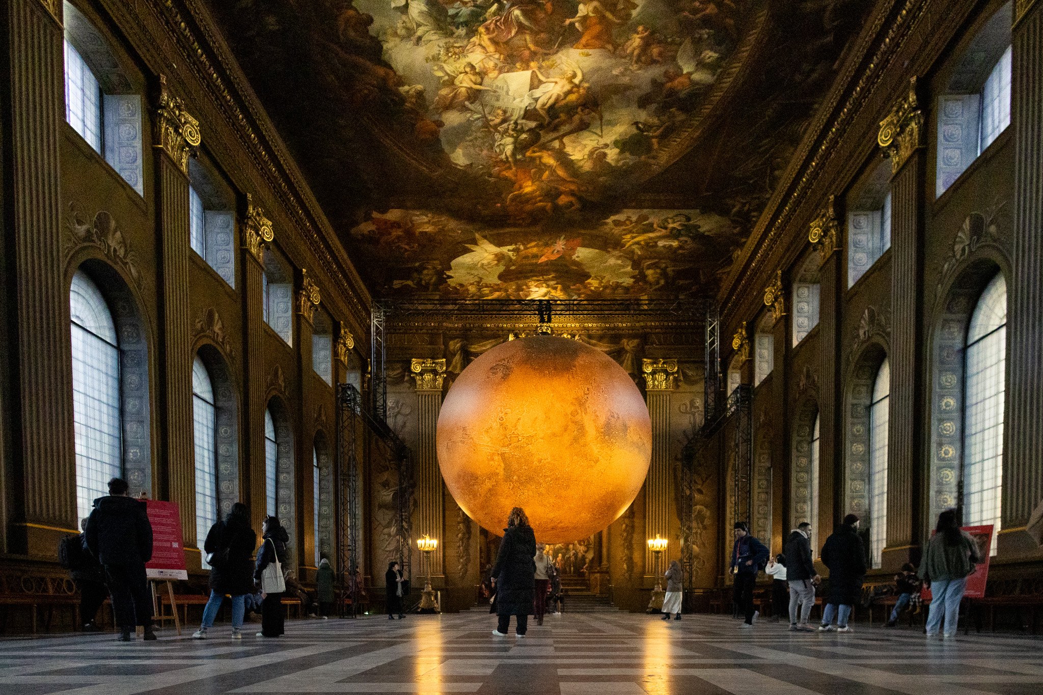
The Royal Naval College sat at the symbolic and literal heart of this effort, located at Greenwich—home of the Royal Observatory. By the late 19th century, Greenwich was declared the Prime Meridian at the International Meridian Conference (1884), anchoring what became the global grid of longitude and latitude. This was not just a geographic decision, but an imperial imposition—rooting global spatial orientation in British authority.

Longitude—enabled by precise timekeeping—allowed Britain to control maritime navigation, enforce colonial borders, and standardize maps. The resulting "grid" of meridians and parallels is a conceptual infrastructure of Empire: a way to fix, measure, and command the globe. It functioned as an imperial architecture, dividing space into place — knowable, governable units. In this regard, the grid is never neutral—it is an encoded worldview in which space is abstracted, claimed, and regulated. 

The Royal Naval College’s solution to the longitude problem thus laid the epistemic foundation for a militarized cartographic modernity, deeply tied to extractive colonial enterprises and territorial discipline.  At its core, the grid is a technology of abstraction—a way to render the messy, dynamic world into discrete, knowable, and ultimately governable units. Whether it’s land, bodies, time, or pixels, the logic is the same: break it down, tag it, and control it. This same spatial rationality underpins today’s mapping systems (e.g., GPS), real estate zoning, and even urban surveillance—all drawing upon a legacy of the imperial grid.

The Cartesian coordinate system—literally a mathematical grid—was central to Enlightenment rationalism: it underwrote the idea that space (and by extension, people and nature) could be measured, ordered, and mastered. This view of the world translated easily into colonial mapping, zoning, and eventually data systems. Nicholas Mirzoeff describes this as part of the “visuality of whiteness”—a framework that makes control look like knowledge (White Sight, 2023). 

Cartesian Coordinate System

Benedict Anderson identifies the census, the map, and the museum as tools that “profoundly shaped the way in which the colonial state imagined its dominion” (Imagined Communities, 1983). The grid is the connective tissue across all three.

The digital grid of metadata, coordinates, and surveillance reproduces this system on new terrain. Facebook’s database schema, Google Maps' tile system, facial recognition datasets—all follow the same imperial template: divide, categorize, extract.

The “imperial grid” and the “imperial screen” are two sides of the same epistemic coin. Both function as visual regimes—ways of seeing that structure what counts as real, valuable, and visible. The grid, as Anderson notes, allowed colonizers to imagine empty, bordered territories that could be administrated, resettled, renamed. This wasn't just about geography—it was about manufacturing legibility. “Unmapped” was synonymous with “ungoverned” and “uncivilized.” Mirzoeff's “white sight” expands on this, arguing that colonial vision is not merely representational but operational—it’s a mode of command (White Sight, 2023). The screen (painting, photograph, cinema, and later the interface) is a projector of imperial vision that frames bodies, landscapes, and histories within a hierarchy of visibility. It teaches us what to see—and what not to. Together, they enforce what Mirzoeff calls a “visuality of order”—a way of seeing that suppresses other worldviews, collapsing multiplicity into a single-point perspective grounded in imperial certainty (The Right to Look, 2011).

If the grid has historically served Empire, how might we detourne it? Can it be reconfigured—not to dominate space—but to trace resistance, map entanglements, or visualize ungovernability? In my work on site-specific image-making and decolonial visual practices, this becomes a powerful question: What would a grid look like if it were built to hold memory instead of control? To map relation instead of extraction?


Outstanding Universal Value - Maritime Greenwich, EN


Maritime Greenwich - UNESCO World Heritage Site

Situated along the south bank of the River Thames, the Maritime Greenwich UNESCO World Heritage Site—inscribed in 1997—occupies a key locus in the spatial imagination of the British Empire. Encompassing 109.5 hectares, the site includes Greenwich Park, the historic riverfront, and a constellation of architectural landmarks that articulate Britain’s maritime, scientific, and political ascendancy from the late 17th century onward. At the heart of this ensemble is the Royal Observatory, founded in 1675 by Charles II and designed by Sir Christopher Wren. Perched on a hill aligned with the Prime Meridian (0° longitude), the Observatory became a node of scientific authority, producing the celestial data required to solve the “longitude problem”—a challenge that haunted early modern navigation. Through its instruments and observations, it redefined global space, anchoring Britain’s expanding oceanic ambitions in temporal and mathematical precision.

The surrounding complex, originally established as the Royal Hospital for Seamen, reflects a parallel narrative of imperial identity articulated through monumental design. Its axial symmetry and façades encode a vision of the British state as both beneficent and commanding—an architecture of care and control, and imperial reach. Built on the site of the former Palace of Placentia (birthplace of Henry VIII and Elizabeth I), the institution for retired sailors embodied a spatial continuity between Tudor sovereignty and naval modernity, linking monarchical legacy with maritime supremacy.

At the center of this ideological and architectural matrix stands the Painted Hall—a ceremonial space designed to awe, persuade, and immortalize. Initially intended as a refectory for seamen, it was quickly repurposed due to the visual intensity of its interior. The hall’s walls and ceilings, painted over two decades by Sir James Thornhill, form one of the most comprehensive pictorial programs of Baroque propaganda in Britain. Spanning over 40,000 square feet, the paintings merge classical mythology, political allegory, and historical narrative into a visual manifesto of Britain’s emergent imperial ideology.

Thornhill’s composition presents a carefully choreographed spectacle. On the ceiling of the Upper Hall, William III and Mary II sit enthroned at the center of a cosmic tableau, attended by allegorical figures representing Peace, Liberty, and Justice. Below them, the continents—Europe, Asia, Africa, and the Americas—appear not as geopolitical entities but as personified vessels of British ambition. They bear the signs of exoticism and resource: camels, lions, gold, and fruits, each rendered through the colonial gaze as offerings to empire. Surrounding these scenes are nautical instruments, globes, and sextants—symbols of the observational technologies that underpinned Britain’s maritime expansion. Neptune, subdued and deferential, relinquishes his dominion to British power, while tritons and oceanic motifs reinforce Britain’s claim to maritime mastery.

Painted Hall, Royal Naval College - Maritime Greenwich UNESCO World Heritage Site

On the west wall, Queen Anne presides over the symbolic aftermath of the War of the Spanish Succession, her image framed by celestial light and imperial trophies. Neptune once again appears, now bearing the British crown—an act of divine coronation that blurs the boundary between myth and monarchy. The Lower Hall continues this narrative with the Hanoverian succession, portraying George I surrounded by classical deities that frame his reign as both rational and divinely ordained. Hercules, Apollo, and Saturn make repeated appearances, embodying strength, enlightenment, and temporal endurance—qualities transferred from the gods to the British state. The inclusion of the Fates with their thread and scissors adds a note of inevitability, suggesting that Britain’s rise is not merely political, but cosmically preordained.

The hall’s architecture and iconography together produce a deeply immersive environment, one that mobilizes allegory, illusion, and symbolism to consolidate Britain’s self-image as a protector of Protestantism, a patron of the arts and sciences, and an unrivaled naval power. The visual language of the Painted Hall—sunbursts, standards, celestial orbs—is less decorative than declarative. It asserts a vision of empire grounded not only in ships and colonies but in metaphysics and divine favor.

Following its completion, the Painted Hall became a site of public spectacle. Opened to visitors in 1823, it transitioned from a space of charitable dining to a civic monument—used for state functions, naval commemorations, and elite gatherings. In the 19th and 20th centuries, it became integrated into the Royal Naval College, serving as both a ceremonial hall and a visual pedagogy of empire. Its most recent restoration (2016–2019), an £8.5 million conservation project, ensured that the hall’s allegorical apparatus remains legible to contemporary audiences.

Today, the Painted Hall continues to operate as a cultural and historical fulcrum. It hosts exhibitions, performances, and public events, drawing visitors into a space where Britain’s naval history, artistic ambition, and imperial ideology converge. As part of the Maritime Greenwich World Heritage Site, it stands as a monument not only to artistic achievement but to the theatrical projection of power—an enduring performance of nationhood staged across the painted vaults of empire.


Glitch as Tactic


This essay, and visual artifacts within, explores the use of glitch and data-bending techniques as a means to disrupt visual systems of heritage, preservation, and imperial power. Centered on the historic core of Puebla, Mexico—a UNESCO World Heritage Site since 1987—this project interrogates how images participate in the ongoing construction and control of historical narratives. While Puebla’s inscription on the World Heritage List formalized its global cultural value, it also embedded the city within a visual economy that privileges curated aesthetics, colonial nostalgia, and neoliberal development.

Photographic representations of Puebla’s urban fabric—its facades, surfaces, and ornamental features—are deliberately broken, fragmented, and corrupted. Glitch becomes a critical tactic: it resists the polish of restoration, refuses the seamlessness of heritage branding, and renders visible the unstable foundations beneath idealized visual regimes. These disruptions serve not only as formal interventions, but as conceptual ruptures—gestures that refuse the static image and implicate the viewer in a politics of misrecognition.

The glitch reveals that systems of heritage are not neutral acts of preservation, but are inherently political and aesthetic maneuvers. Color restorations, ornamental revivals, and the visual order of “authenticity” are exposed as mechanisms of control—erasing layered vernacular histories in favor of a marketable colonial image. By corrupting these photographic surfaces, the work calls attention to the erasures they represent. What does it mean to preserve a place by making it visually legible to outsiders? What is lost in this act of legibility?

Drawing parallels between glitch as technological rupture and restoration as ideological imposition, the work positions both as acts of reconfiguration—one imposed by the system, the other by the artist. The visual distortion in these images is not a malfunction but a deliberate sabotage. It resists the ornamental smoothness of heritage imagery and instead proposes a counter-archive—one that holds space for absence, distortion, and resistance.

Through these corrupted images, the work asks: what might it mean to preserve by breaking? What new histories might emerge when the image fails to perform its colonial function?