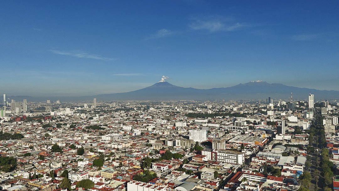
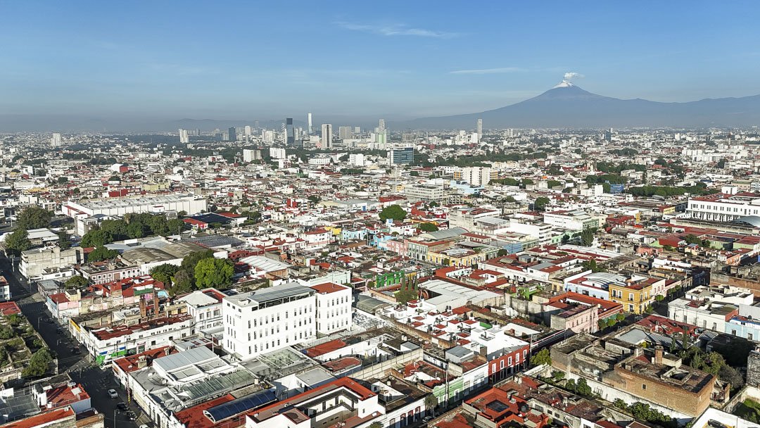
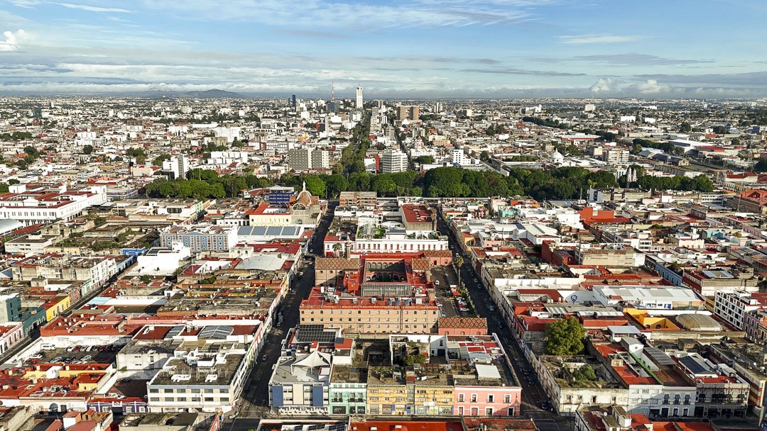
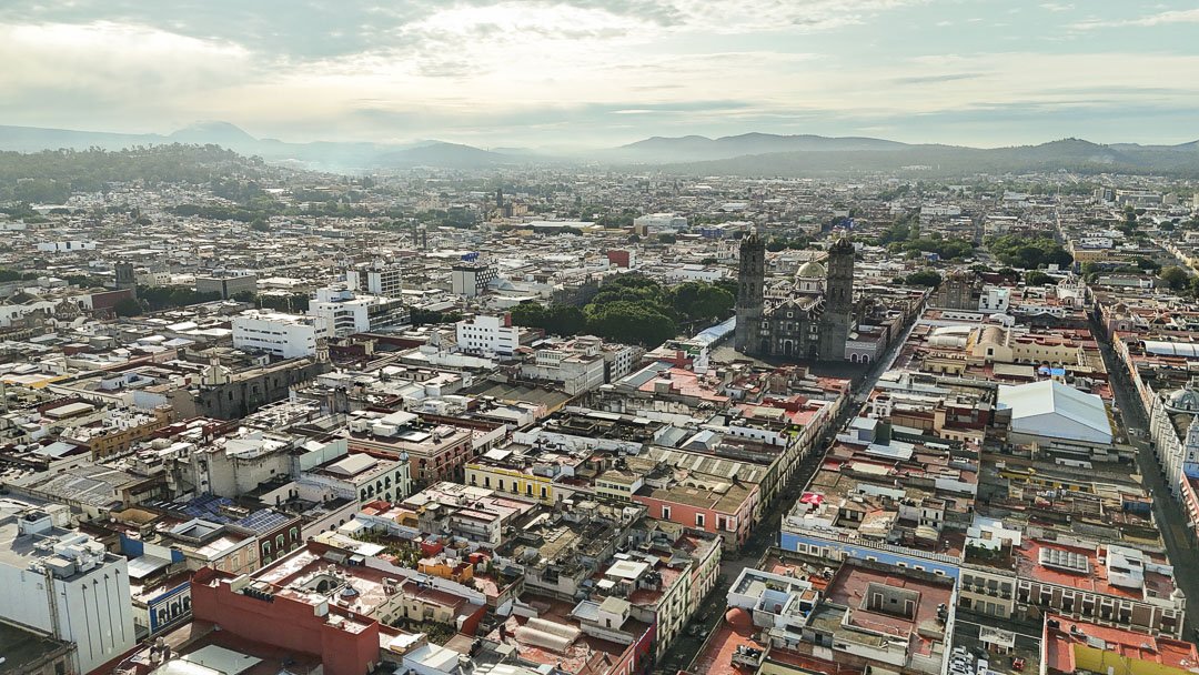
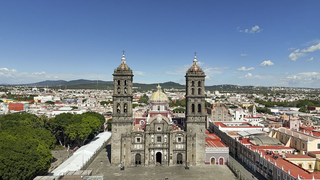
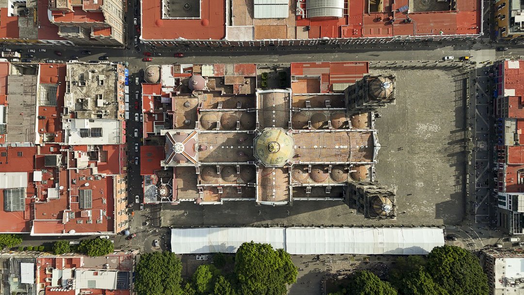
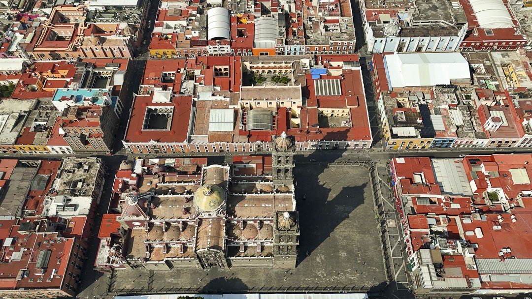
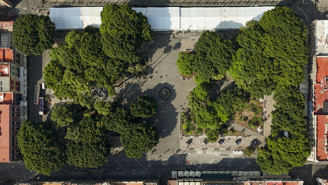
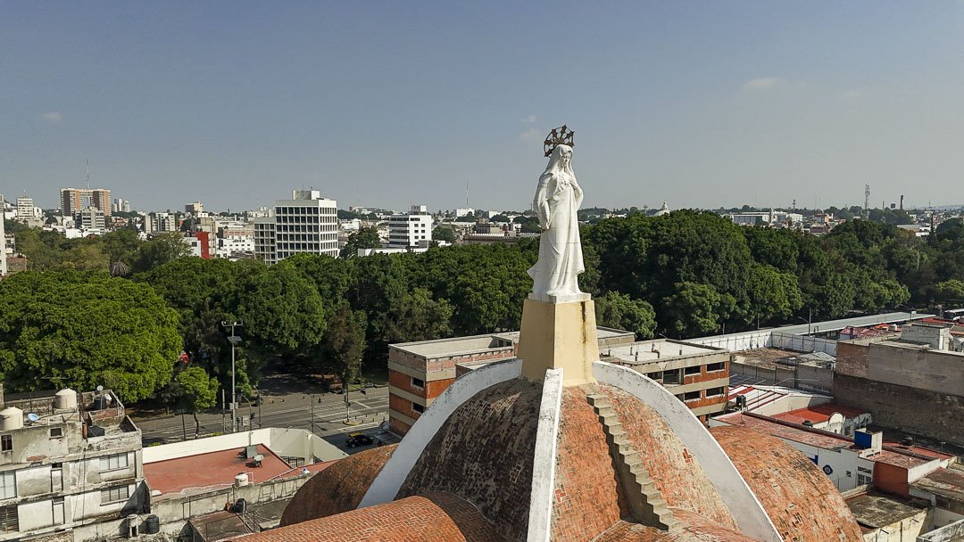
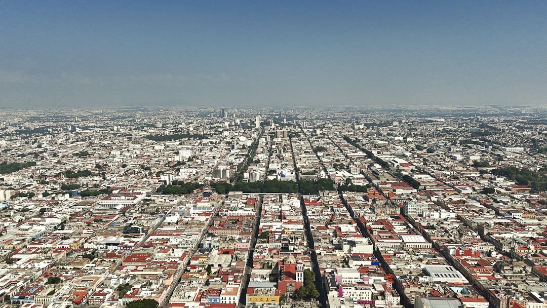
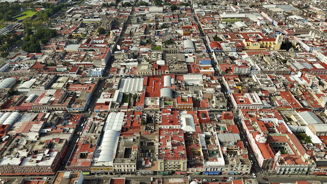
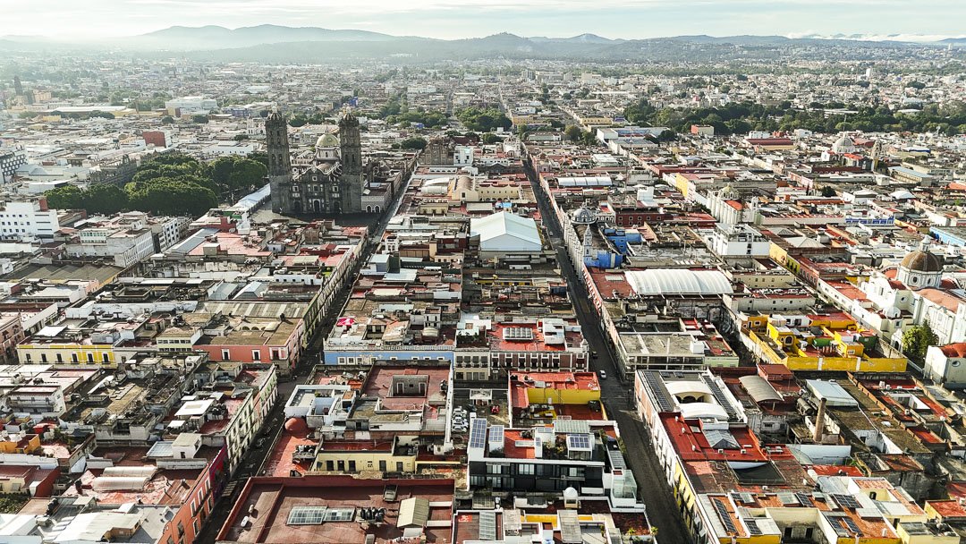
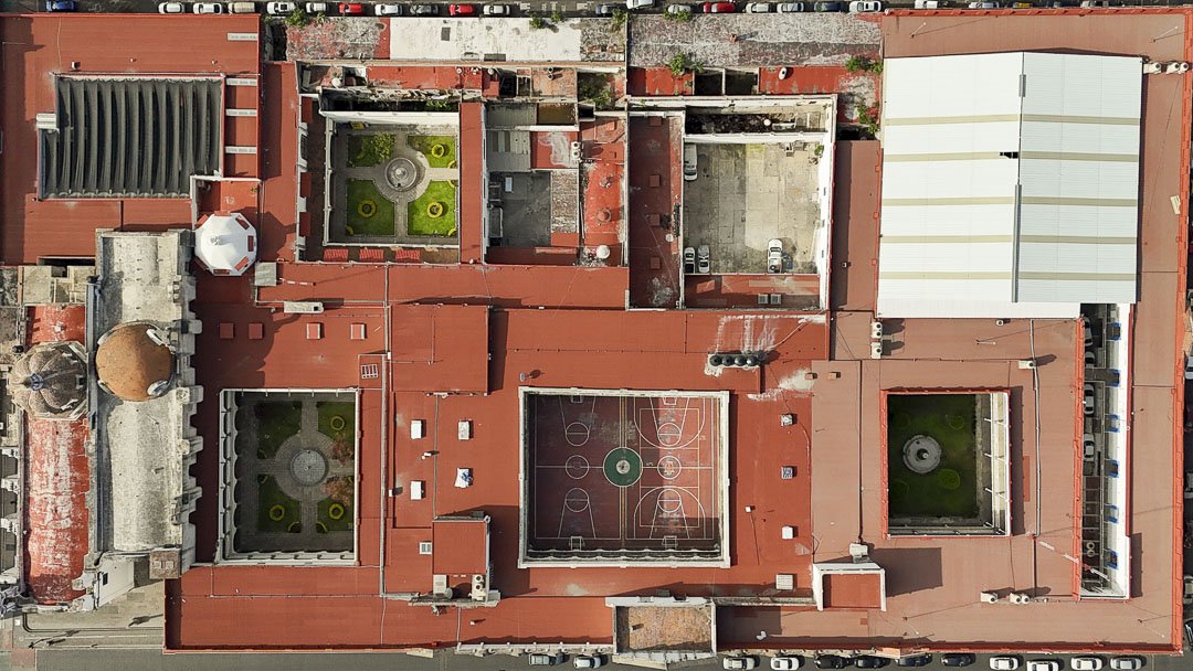
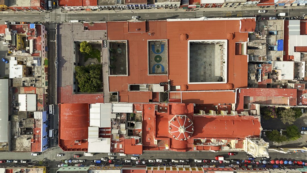
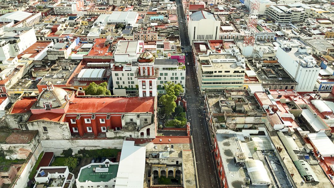
CENTRO HISTORICO DE PUEBLA, MX
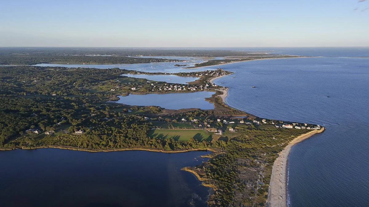
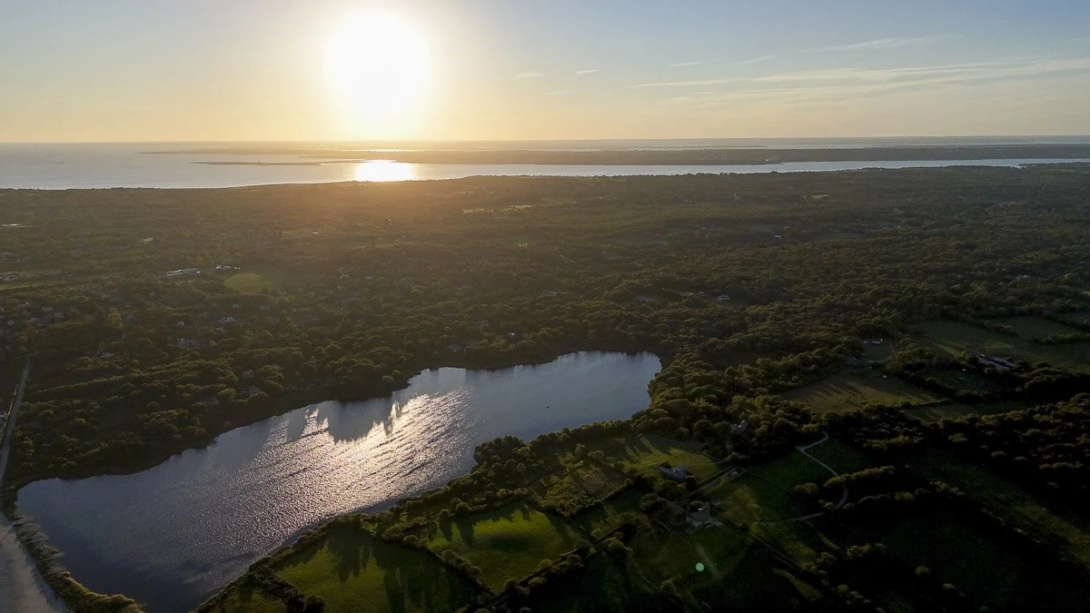
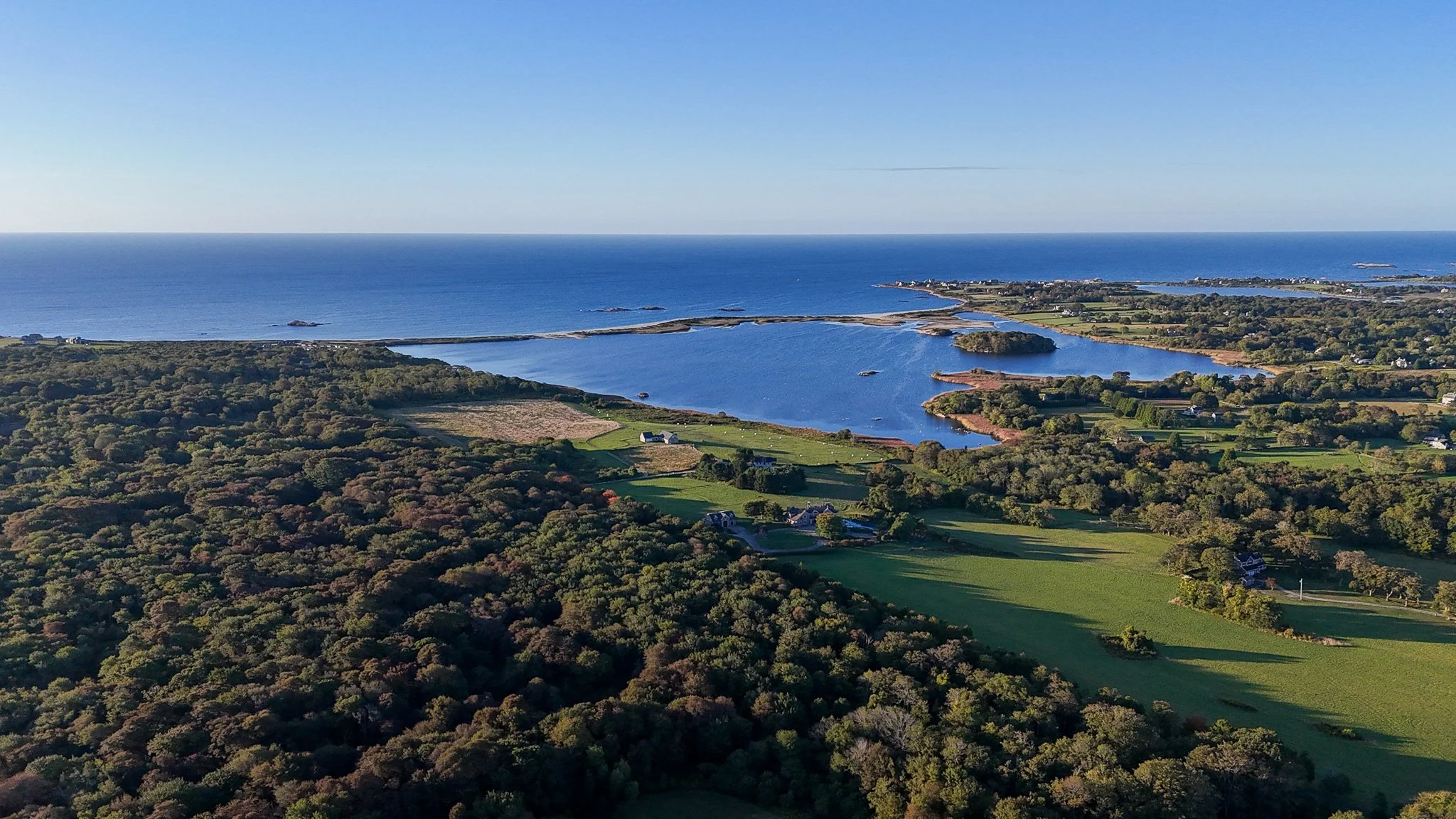
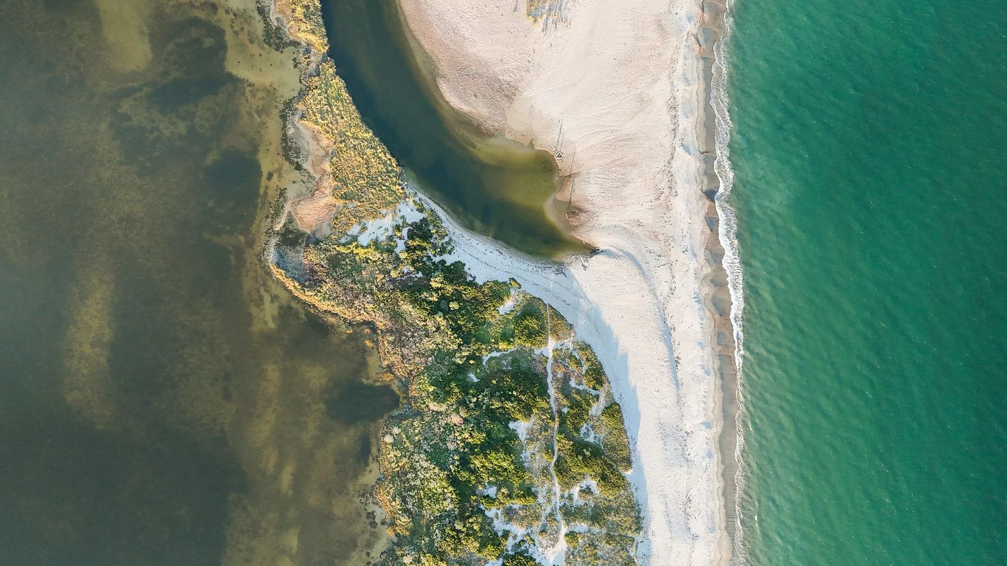
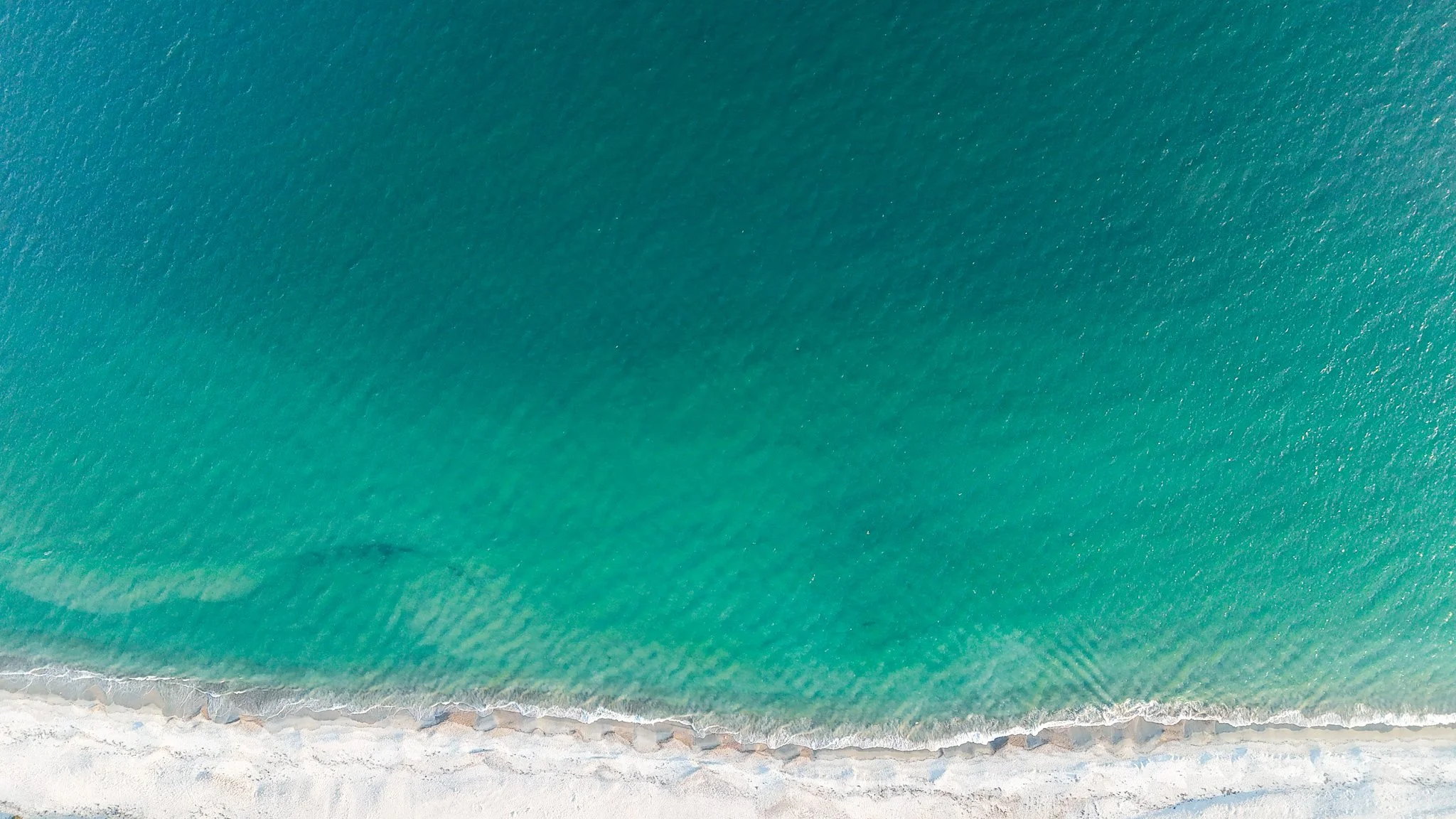
RHODE ISLAND, USA